Viet Nam to launch first homemade radar satellite in early 2025
VGP - LOTUSat-1, Viet Nam’s first indigenous weather satellite, is expected to be launched into orbit between December 2024 and February 2025, according to the Viet Nam National Satellite Center (VNSC).

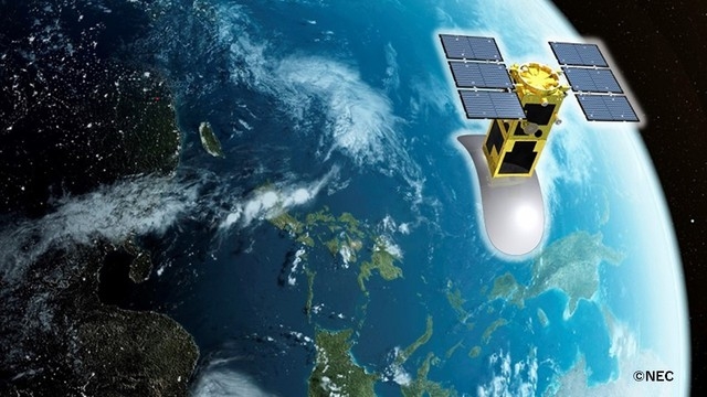
An image of LOTUSat-1
Deputy Director of the Viet Nam Academy of Science and Technology (VAST) reported that the 570kg satellite is expected to be completed in May, with an image resolution of one meter. Radar satellites can take pictures in all weather conditions, cloudy, foggy or low-light.
The ground control system for the launch will be completed by September this year at the Hoa Lac hi-tech park located in Ha Noi capital.
In 2019, the VNSC and Japan’s Sumitomo Corp. cooperated to implement the project "LOTUSat-1 satellite, equipment and human resources training", using official development assistance (ODA) loans from the Japan International Cooperation Agency (JICA).
Viet Nam’s first remote sensing satellite, the VNREDSat-1, has been operating effectively since it was launched on May 7, 2013, marking an important milestone in realising the space technology development strategy in Viet Nam.
VNREDSat-1 is a prime example of successful cooperation in the field of space and satellites between France and Viet Nam.
VNREDSat-1 has been in orbit for ten years, twice its expected lifespan, and is still helping Viet Nam address challenges in forest and water resources management, disaster management, mapping and urban planning, defence and security and coastal management.
To date, the satellite has provided nearly 160,000 images of Vietnamese territorial land and waters as well as the world, giving Viet Nam complete autonomy in remote monitoring of its natural resources, environment and disasters./.

