Dong Van Karst Plateau Geopark–must visit place for adventure travellers
VGP - Dong Van Karst Plateau, which was recognized by UNESCO as a Global Geopark again in 2014, possesses valuable heritage including geology, culture, history and biodiversity with imposing natural scenery that is preserved up to now.
 |
|
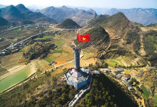
Dong Van Karst Plateau UNESCO Global Geopark is located in the northeastern province of Ha Giang, a mountainous province located in the far north of Viet Nam. |
 |
|
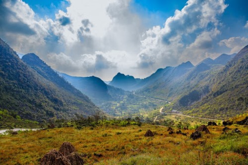
The UNESCO Global Geopark is located at an extension foot mount East of the Himalayas. Geoheritages date from the Cambrian (about 550 million years ago) to the present in seven different stages and include palaeobiology, stratigraphy, geomophology, tectonics, karst, caves and also important faults. |
 |
|
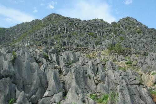
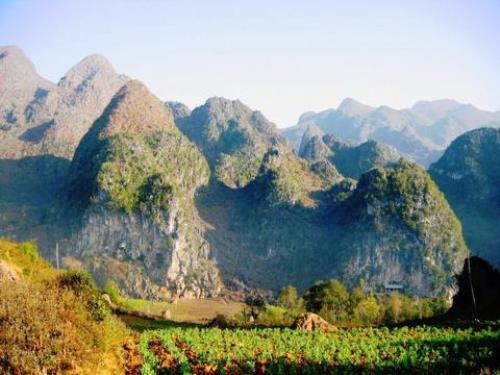
Most of its surface is limestone (about 60%). Its landscape is spectacular and unique having high mountains and deep canyons. |
 |
|
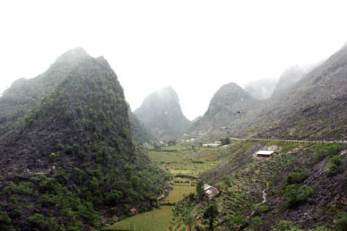
The highest peak is Mac Vac Mount (1971m) while Tu San is the deepest Canyon (700-800 m deep). |
 |
|
The geology in this UNESCO Global Geopark reflects important events in Earth history, like of two mass extinction boundaries of Frasnian-Famennian (360 million years ago) and Permian-Triassic (250 million years ago). |
 |
|
The Geopark has two natural conservation areas rich in fauna and flora species such as conifers, Asian black bear, Southern serow (a solitary mountain goat) and many species of bird. Moreover, the unusual and mysterious Tonkin snub-nosed monkey is one of the 25 most endangered species of primate in the world. It is only found in Ha Giang province and was believed extinct until its rediscovery in the early 1990s. |
 |
|
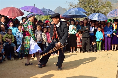
Dong Van Karst Plateau UNESCO Global Geopark is home to 17 ethnic groups which creates the unique and rich cultural heritage of this area. |
At present, Viet Nam is the home to three UNESCO-recognized Global Geoparks including Dak Nong Geopark in Dak Nong Province, Dong Van Karst Plateau Geopark and Non Nuoc Cao Bang Geopark in Cao Bang Province.
By Thuy Dung
